
Maps


|
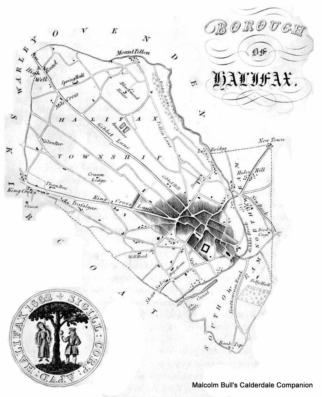
This image is taken from Crabtree's Concise History of the Parish & Vicarage of Halifax

|
The dotted lines represent the water pipes
This image [DW208.JPG] was kindly submitted by Darren Webley

|
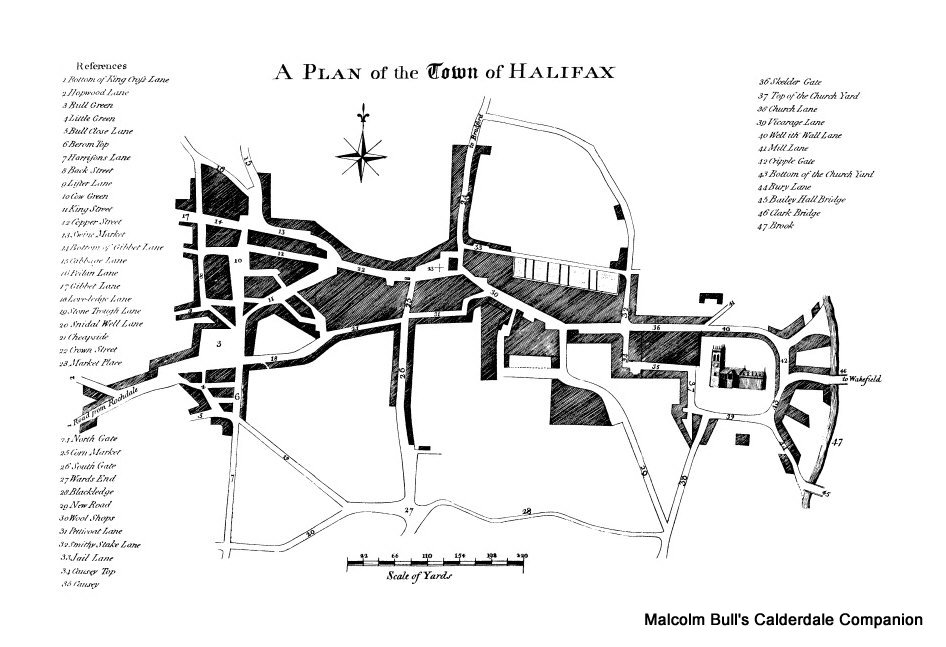
This image is taken from History & Antiquities of the Parish of Halifax in Yorkshire,
Page Ref: PH2299
|
||
| site search by freefind |